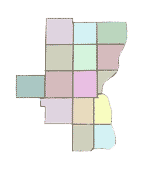
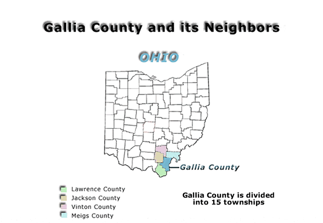
To Gallia County Map
| To find a specific location in Gallia
County, for which you have a land description, follow the link, first
to the county map, and then to the township map. Many of the townships
in this county are of irregular shape, and so the numbering of the sections
doesn't follow any pattern and each township has to be looked at separately. |
 History of the land survey process in the US Land and Property research in Gallia County The Rectangular survey system and how to read a land description When researching a family tree one can find information from a wide variety of sources. A source that is often overlooked is the vast amount of genealogical and family history information that can be extracted from land and property records. When property was sold, the wife had to sign off on the deed, and this is often the only place where the wife’s name can be found. Also transfers can sometimes be made between members of the same family and how individuals are related to each other can sometimes be spelled out in a deed. Sometimes estate settlements are recorded in which the property is divided up among the heirs and each member of the family is named. Even if none of this information is found, deeds can pinpoint the exact location of the property, and from this information one can find nearby cemeteries, churches, and schools where other records could be searched. To find out more about searching Gallia County land records click on the subjects listed above. |
|